Postdoctoral Researcher - Remote Sensing, forest disturbance and recovery mapping
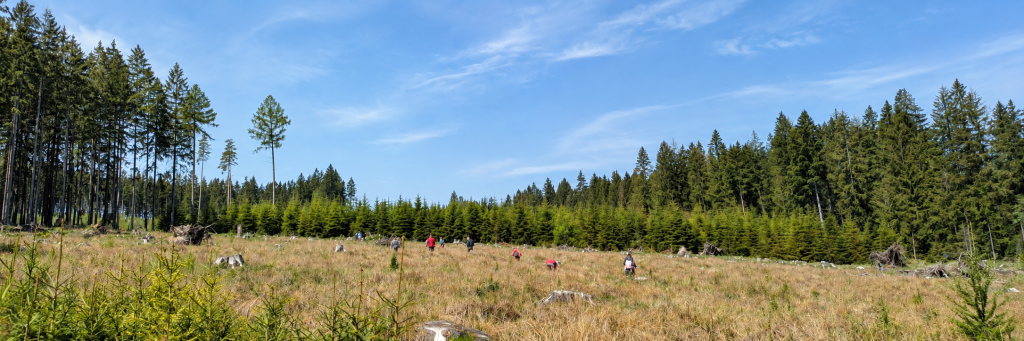
Remote sensing and geoinformatics applied to forests. Works with radar and optical satellite data, Sentinel-1 coherence time series, Sentinel-2 spectral indices, and embeddings from Earth observation foundation models, to detect where forests have been disturbed, when the change happened, and what is growing back. His interest is in making these signals accurate and repeatable enough that forest managers, not only researchers, can act on them.